Columbus, Ohio is not the first city that comes to mind in conversations about logistics technology. Chicago and Atlanta tend to dominate that discussion — larger populations, more established freight ecosystems, more visible names. But for last-mile logistics specifically — the final segment of the delivery chain that connects distribution centers to residential and commercial addresses — Columbus has structural characteristics that make it an unusually good environment for building and testing routing software.
This is why Infralo is based here. Not for branding reasons, and not because the founders happen to be from Ohio. The Columbus logistics ecosystem is a specific and underappreciated environment for the last-mile problem, and building in it has concrete advantages that would be harder to replicate in a generic urban tech center.
The Geographic Logic: Why Columbus Matters for Parcel Distribution
Columbus sits at roughly the geographic center of the US population within the Eastern time zone. Within a 10-hour drive, you can reach approximately 46% of the US population — a figure that makes it one of the most strategically positioned distribution points in the country. This isn't a recent discovery: UPS, FedEx, Amazon, and a substantial number of third-party logistics operators have built significant presence in the Columbus metro for this exact reason.
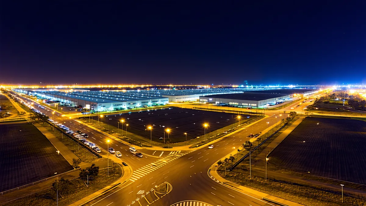
The practical consequence for Columbus is that it has an unusually dense ecosystem of distribution centers, USPS processing and distribution facilities, and regional carrier operations relative to its population size. The parcel volume moving through Columbus is disproportionate to the city's size. Regional couriers operating in and around Columbus are processing parcel volumes that would be more typical of cities twice Columbus's size.
That density creates a unique testing environment. Routing problems in Columbus are more representative of the national last-mile challenge than problems in a city that's either very dense (New York, Chicago) or very sparse (most mid-size metros). Columbus has suburban residential zones, urban commercial density, highway-accessible distribution clusters, and rural fringe delivery territory — all within a manageable geographic radius. A routing approach that works in Columbus generalizes well.
The I-270/I-70/I-71 Interchange Pattern
Columbus's limited-access highway network creates a distinctive routing environment. I-270 forms a complete beltway around the metro — one of the few such complete outer beltway systems in a mid-size US city. The I-70/I-71 cross creates quadrant-based access that structures how regional carriers think about territory boundaries and depot location relative to service zones.
This structure means that route zone design in Columbus is heavily influenced by highway access patterns. A carrier whose depot sits inside I-270 near I-70 has efficient highway access to all four quadrants of the metro, but faces specific stem-mile costs for zones outside the beltway. Route designs that look geographically compact on a map may have poor stem-mile ratios if they require crossing the beltway multiple times. Routing software that's been trained or calibrated against Columbus route patterns understands this — drive time doesn't scale linearly with map distance in a city with this highway structure.
USPS Processing Volume and Regional Carrier Ecosystem
Columbus is home to two major USPS processing and distribution centers serving the central Ohio region — facilities that process substantial daily parcel volume for delivery throughout the metro and outward. The concentration of USPS operations in Columbus has created a secondary ecosystem: regional carriers who handle overflow volume, contract final-mile delivery for national carriers, and serve residential zones that USPS and the national carriers route inefficiently due to their own density and zone structure constraints.
This secondary carrier ecosystem is exactly the customer base that Infralo is designed for. These are operations running 15–100 daily routes, serving mixed residential and commercial stops in suburban and semi-rural zones, competing on first-attempt delivery performance as a differentiator from national carriers. They're not trying to be UPS. They're trying to be better than UPS in the specific zones and stop types that UPS handles least efficiently.
Why Columbus Is a Better Lab Than a Major Metro
There's a natural assumption that the best place to develop last-mile logistics technology is a major metro with high package density and lots of carriers. New York or Los Angeles seem like obvious choices. But for developing and validating availability-signal routing specifically, major metros have a limitation: their residential delivery patterns are more uniform and less interesting than mid-size metros.
Dense urban residential delivery operates at high stop density — apartment buildings, multi-unit complexes, walkable blocks. The sequencing problem is mainly geographic. Availability signals matter less when the driver can attempt 8 stops on one block and easily re-attempt a missed stop the same afternoon because they're back in the area within hours. The FFAD economics in dense urban delivery are different from suburban residential delivery because the re-delivery cost is lower.
Columbus's suburban residential zones — sprawling, low-density commuter neighborhoods ringing the metro — are where the FFAD problem is most acute and where availability-signal routing produces the clearest improvement. The stop density is low enough that every failed attempt is a genuine re-delivery cost. The residential patterns are varied enough (commuter suburbs, work-from-home clusters, retirement communities, student areas) that availability signals have real predictive value. The highway network structures the routing tradeoffs in non-trivial ways. It's a better test environment for the specific problem we're solving than either very dense urban or very sparse rural zones would be.
Building Alongside the Ecosystem
One practical advantage of being based in Columbus that doesn't show up in logistics industry analyses: proximity to the carrier operations Infralo is designed to serve. Regional carriers in central Ohio face the same last-mile challenges that regional carriers everywhere face — high residential FFAD, re-delivery costs compressing margins, routing software built for larger networks that doesn't account for low stop density economics. Building software here means the operational feedback loop is short.
That proximity shapes product decisions in ways that being in a coastal tech hub would not. The dispatch workflow concerns that regional carrier ops leads actually have aren't always the same as what the enterprise logistics software market assumes they are. Routing decisions that make sense for a 200-vehicle fleet don't always translate to a 20-vehicle operation. Understanding those gaps requires being in the same geographic environment as the carriers who face them — not just reading about them in industry reports.
Columbus's combination of strategic distribution position, dense regional carrier ecosystem, and suburban residential delivery complexity makes it not just a plausible location for a last-mile logistics startup, but one of the better places in the country to build this specific product. The logistics lab metaphor isn't marketing language — it's a description of what the environment actually is for anyone working seriously on residential delivery optimization.